| browse projects: | prev | | | next |
31° 14' N - 121° 27' E
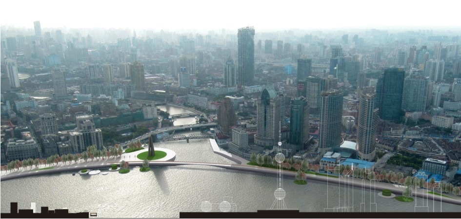
In a time when it is necessary exchange ideas for a sustainable future city this work contributes with a project for Shanghai. The lack of green areas within one of the most dense city of China has led to consider the possibility of a new green belt able to give new life and quality to the urban environment. This is a hypothesis that has also been applied to the central area of the Bund. The existing green areas and roads that separate the buildings from the riverside prevent any relationship between the Bund and Hunagpu River by subtracting the city a fundamental public area. This area draws nowadays more attention thanks to the Pudong's development and the implementation of the Expo. The project defines an ecological corridor that accompanies Hunagpu River along its path through the fabric of the city creating a green connection between the city center and the current Green Belt (Outer Ring). The project ends to the banks of the Yangzte river.